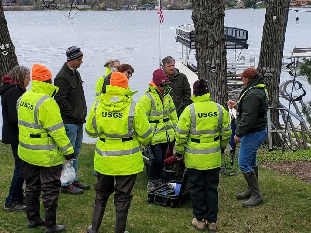
On Wednesday, April 27, 2022, the United States Geological Survey was on Long Lake conducting a water monitoring research program.
Grant Benjamin will be presenting more information, regarding the water monitoring program, at our annual meeting on Friday, May 13th at 7pm at Jerry’s Parkway By The Lake. We hope to see you there!
The full description of the program is below.
US Geological Survey - Remote Water Monitoring
The USGS has launched a 10-year national research program called the Next Generation Water Observing System (NGWOS). This program is selecting a limited number of watersheds across the US for intense application of new remote sensor technologies to improve real-time watershed monitoring and modeling, with a focus on nutrient pollution and harmful algal blooms (HABs).
The Illinois River basin is one of just three watersheds nationwide selected for the project thus far, and the work on this basin is led by a team from the USGS Upper Midwest Water Sciences Center. We first learned about this effort last fall when attending a meeting of the Flint Creek Spring Creek Watersheds Partnership. At that meeting, Jim Duncker from USGS spoke about the NGWOS in the Illinois River. At the end of that presentation, he provided contact information, so (of course) we contacted him, since our watershed is in the Illinois River basin..
After initial contact, we hosted a Zoom meeting with five members of the USGS research team, and convinced them that our lake and watershed (along with our motivated volunteer community) would be an ideal partner to include in their project. Following more Zoom meetings and information exchange, the USGS team has now scheduled a field staff training April 25 - 28 on Long Lake.
They will be bringing floating Algae Tracker sensor sondes (see attachment), airborne drones equipped with multi-spectral sensors, and have also included LANDSAT 8 and Sentinel 2 satellite imaging of Long Lake this year.

 RSS Feed
